Light on the way: the new navigation system for UAVs will work an order of magnitude more accurately than GPS
- Статьи
- Science and technology
- Light on the way: the new navigation system for UAVs will work an order of magnitude more accurately than GPS
Russian engineers have created a local navigation system for drones that locates the device using LEDs with an accuracy of 4 mm. This is an order of magnitude greater than the capabilities of satellite systems, which are measured in meters. Due to this, the development can be used to perform particularly complex tasks, such as, for example, landing on a moving object in fog conditions. According to the authors, first of all, the invention can be used in enclosed spaces where neither GPS nor GLONASS works. According to experts, such alternatives to satellite technologies are necessary, but they will be in demand only in those areas where it is economically feasible.
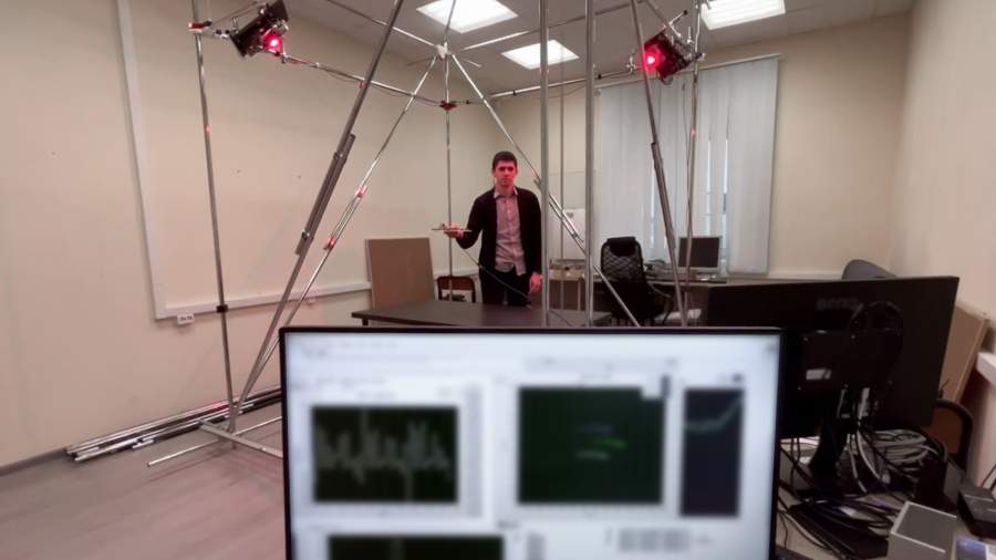
Spatial orientation using LEDs
ITMO specialists have developed a local navigation system for drones, which is called "Vostok". The development determines the speed and location of the aircraft with very high accuracy, which exceeds the capabilities of GPS by an order of magnitude and can be used where classical satellite navigation systems do not work. For example, in dense urban areas, tunnels, or enclosed spaces. Also, accurate determination of coordinates will allow the UAV to perform complex tasks, such as, for example, landing on a moving object in thick fog.
— Our method is based on the classical principles of radio navigation and direction finding and is similar to talking to two people who are standing in one place and talking through megaphones. If you want to hear one, stand in front of his megaphone, stand in front of the other, and if you need to hear both, stand in the middle," said Timofey Melnikov, the project leader and a first—year graduate student at ITMO's Faculty of Information Technology Security.
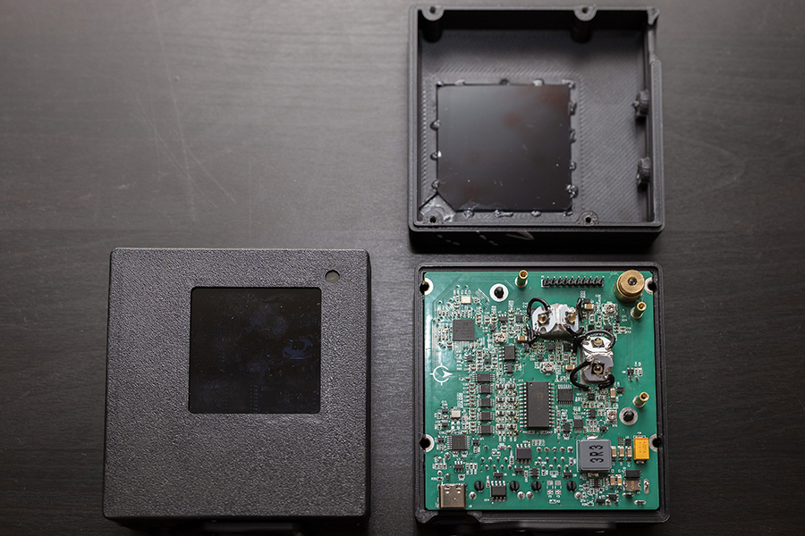
In Vostok, the role of megaphones is performed by two LEDs turned relative to each other at a certain angle. There are two pairs of them in each module. They shine on the photodetectors of the drone with a signal modulated at different frequencies.
— Photodetectors receive signals, and a special module amplifies and processes them, calculates the coordinates of the drone and transmits the data directly on board to the on-board computer. In real time, we see the exact location of the drone, as well as changes in the height and angles of inclination of the sides," explained Timofey Melnikov.

Currently, drones rely on satellite navigation systems (for example, GPS or GLONASS) for navigation and route planning. However, in difficult conditions, it can work with a large margin of error. But even a 2 m difference between the real and calculated location will prevent a small drone from accurately landing on a charging base or putting a parcel in the right place, the developers noted.
According to them, Vostok calculates coordinates with an accuracy of 4 mm several thousand times per second, surpassing real-time kinematic positioning (GPS RTK), and tracks speed ten times per second with an accuracy of 2 cm/s, not inferior to GPS.
In similar local navigation systems, designers and developers use different methods — for example, they paste QR codes on the landing area. The drone's camera reads them and uses them to navigate through space. The disadvantage of this approach is that it requires good uniform lighting and a large number of QR codes of different scales so that the drone can see them from different distances.
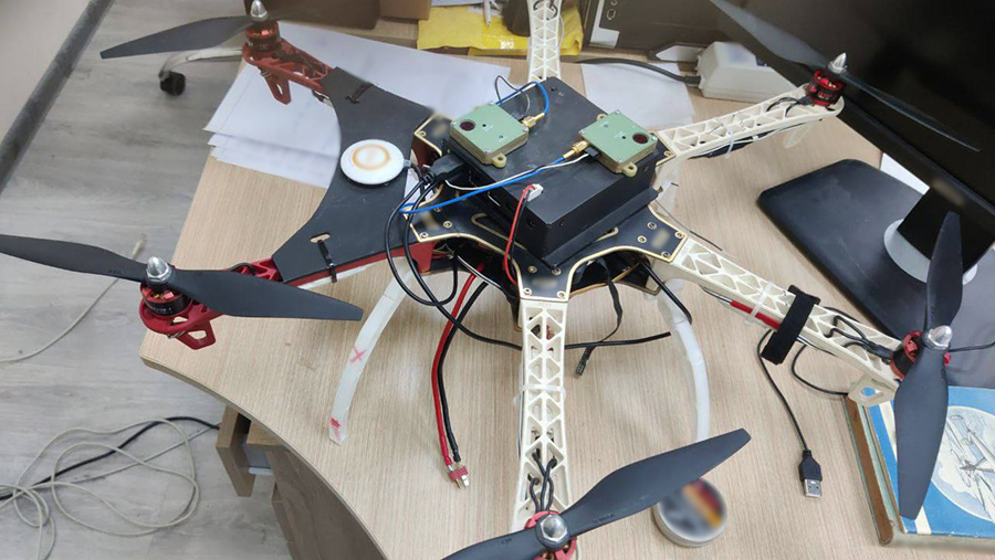
Unlike its analogues, Vostok does not need a video camera, radar or lidar for orientation, and the system itself can be assembled from inexpensive components available on the domestic market, the developers noted. Currently, the signal from a set of two pairs of modules covers an 8x8 m room with a height of up to 3 m. At the same time, Vostok is easily scaled — it is enough to increase the number of modules, their capacity and configuration, the authors of the project added.
Where the technology will be used
The development can be used for different tasks. For example, on the Northern Sea Route, Vostok will help ensure the automatic landing of an unmanned helicopter on the deck of a moving icebreaker or automate the route of unmanned mining dump trucks operating in the dust. With the help of the invention, it is possible to arrange drone delivery of purchases from online stores to the windows of country houses.
In the future, the developers plan to test the system in a large gym, as well as configure the system to position drones relative to each other, not just indoors. In the future, the created solution will become part of the sandbox robodron arena, where developers will collect data and work out control algorithms for drones.
— With the help of Vostok, we plan to create a three-dimensional autopilot that would control the drone as professionally as a human. Usually, to create an autopilot, several hours of flight are recorded, then camera data is processed and an AI model is trained based on the data. Our system allows you to assemble the same dataset, but based on the coordinates obtained by the drone itself in flight. This way, the AI model will become more accurate, since we collect more data per second of flight than other systems, and it's noticeably cheaper - you don't need to buy a motion capture system," said Andrey Boyko, the project's scientific consultant and senior researcher at ITMO's Faculty of Information Technology Security.
The three-dimensional autopilot will reduce the time required to complete routine tasks, such as inspecting agricultural fields or bridges, tunnels and similar structures, as the drone will spend less time turning around and dodging obstacles at higher speeds, the specialist noted.
The problem of developing alternative navigation is very relevant, especially in the context of the use of UAVs in rooms, tunnels, covered parking lots and conditions of exposure to electronic warfare (electronic warfare), explained Kirill Akulov, head of the NTI Competence Center "Geodata and Geoinformation Technologies" based on MIIGAiK.
— Especially in such cases, inertial navigation can be useful — a method that does not depend on external signals and uses sensors on board an unmanned vehicle to track its movement. In conditions where satellite navigation is unavailable or its signal is affected, inertial navigation in combination with internal devices becomes a more reliable option for determining the location of an object," he said.

Переведено сервисом «Яндекс Переводчик»
